-
Candelaria, Nevada, United States
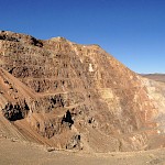
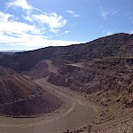
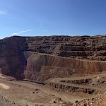
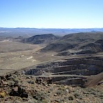
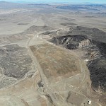
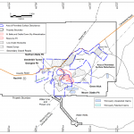
The property is located in central west Nevada just off the paved highway 95, which connects Las Vegas with Reno. The past producing minesite is serviced by paved road, power and water. Reclamation of the Candelaria Mine has been ongoing since 1998. The mine dumps were re-contoured and seeded, and the heap leach piles were rinsed with fresh water and seeded. Other infrastructure has been removed, and the substantial reclamation work meets all state and federal guidelines.
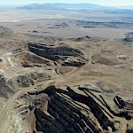
The project lies within the Candelaria Mining District, historically the richest silver mining district in Nevada. Estimated production from the late 1880’s to 1954 was 22 million ounces of silver. From 1874 to 1883, the Northern Belle Deposit alone exploited high grade lodes averaging 1,700 – 2,000 g/t (50 – 60 oz/t) silver. Open pit mining between 1980 and 1999 resulted in the production of 47 million ounces of silver, with Kinross Gold producing approximately 13 million ounces of that between 1994 and 1999.
Silver One recently completed a mineral resource estimate which is reported in a technical report dated April 30, 2025 and titled “Mineral Resource Estimate on the Candelaria Property”. This technical report was prepared in accordance with NI 43-101 and is filed on SEDAR+ and a link can also be found on this website under Technical Reports.
-
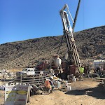
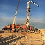
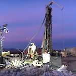
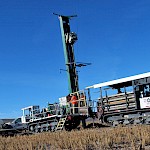
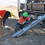
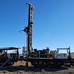
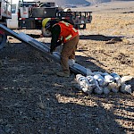
RC Drill Program
Completed 2020-2022
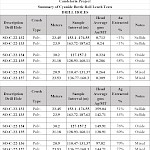
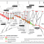
For technical, analytical and sampling details on the RC Drill Program, please see October 15, 2020, February 16, 2021, May 26, 2021, July 15, 2021 and August 16, 2022 press releases.
-
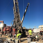
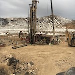
Sonic Drill Program
Completed 2017-2018
For more information on the Sonic Drill Program, please see November 28, 2017, January 3, 2018, March 5, 2018, April 19, 2018, and December 27, 2018 press releases.
-
Resources
Candelaria In-Ground, Underground, and Stockpiles Mineral Resource Estimates.
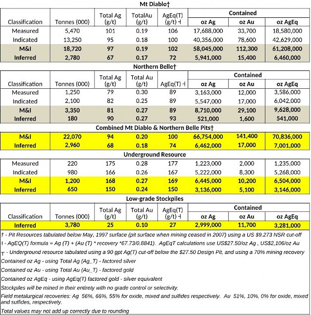
For more information on the Resource Estimate, please see our May 6th, 2025 news release HERE
Totals above include pit Constrained Mineral Resources (Mt. Diablo and Northern Belle) at a US$9.273 NSR cut-off, within a US$27.50/oz Ag optimized engineered pit (“design pit”) (see footnotes and Resource Estimate Details section below).
1. A Mineral Resource is a concentration or occurrence of solid material of economic interest in or on the Earth’s crust in such form, grade or quality and quantity that there are reasonable prospects for eventual economic extraction.
An Inferred Mineral Resource is that part of a Mineral Resource for which quantity and grade or quality are estimated on the basis of limited geological evidence and sampling. Geological evidence is sufficient to imply but not verify geological and grade or quality continuity.
An Inferred Mineral Resource has a lower level of confidence than that applying to an Indicated Mineral Resource and must not be converted to a Mineral Reserve. It is reasonably expected that the majority of Inferred Mineral Resources could be upgraded to Indicated Mineral Resources with continued exploration.
An Indicated Mineral Resource is that part of a Mineral Resource for which quantity, grade or quality, densities, shape, and physical characteristics are estimated with sufficient confidence to allow the application of Modifying Factors in sufficient detail to support mine planning and evaluation of the economic viability of the deposit. Geological evidence is derived from adequately detailed and reliable exploration, sampling and testing and is sufficient to assume geological and grade or quality continuity between points of observation.
An Indicated Mineral Resource has a lower level of confidence than that applying to a Measured Mineral Resource and may only be converted to a Probable Mineral Reserve.
2. Mineral resources, which are not mineral reserves, do not have demonstrated economic viability. The estimate of mineral resources has no known issues and does not appear materially affected by any known environmental, permitting, legal, title, socio-political, marketing, or other relevant issues. There is no guarantee that Silver One will be successful in obtaining any or all of the requisite consents, permits or approvals, regulatory or otherwise for the project or that the project will be placed into production.
3. The mineral resources in this study were estimated using the Canadian Institute of Mining, Metallurgy and Petroleum (‘CIM’), CIM Standards on Mineral Resources and Reserves, Definitions and Guidelines prepared by the Standing Committee on Reserve Definitions and adopted by the CIM Council on May 10, 2014.
4. This Mineral Resource Estimate for the near-surface material is based on material within an optimized open pit shell that results from a US$27.50/oz silver price revenue factor. Tonnes and grade reported at $27.50/oz Ag and U$2,106/oz Au.
5. The Mineral Resource Estimate for underground material was calculated using a 90 g/t Ag(T) cut-off below the $27.50 Pit and using a 70% mining recovery.
6. Total Ag (AgT) and Au (AuT) mean total silver and gold assays (FA/Gravity) reported by the lab. It also means Calculated silver and gold values for historic samples collected by previous operators that were assayed for cyanide soluble silver or gold only, but not assayed for total gold and silver. Average total silver and gold for Mt. Diablo, Northern Belle and Underground resources in this table are derived from silver and gold assays in a database that consists of up to 80% of cyanide soluble silver and gold assays only. Approximately 20% of the assays in the database have both FA and or gravity total silver and gold values. The latter constitutes the basis for the generation of the Calculated silver and gold values using regression formulas developed by qualified Silver One professionals.
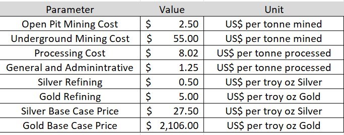
Mining and Heap Leach Processing Assumptions for Reasonable Prospect for Eventual Economic Extraction (RPEEE)
Leach Pad Resource
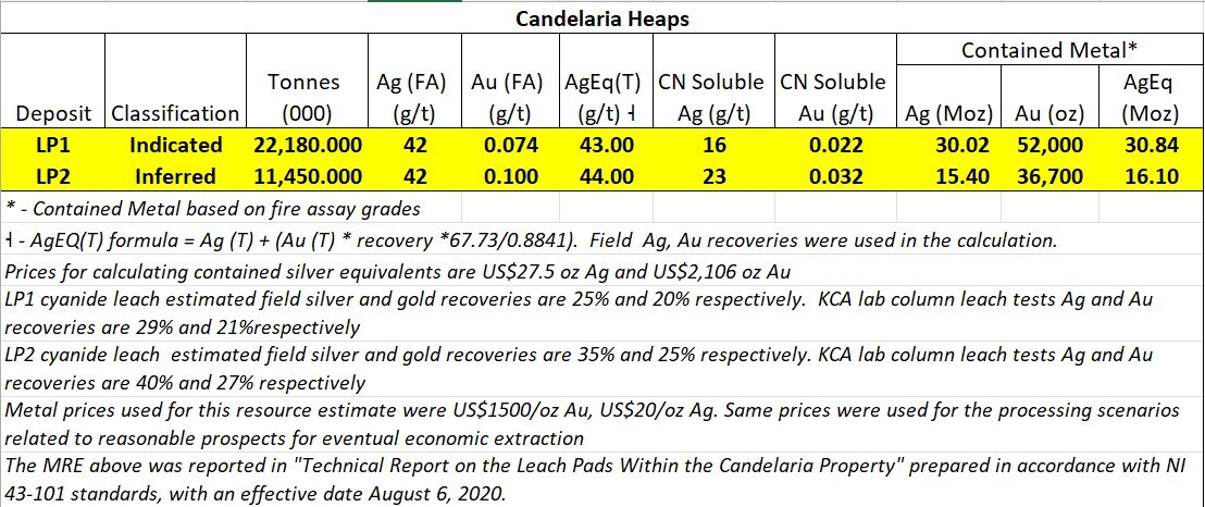
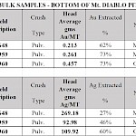
For more information on the Leach Pad Resource, please see our August 18th, 2020 news release HERE or visit sedar.com for the filings.
To gain access to the full technical report, please click HERE
Notes to accompany Leach Pad Resource:
-
Modifying Factors are considerations used to convert Mineral Resources to Mineral Reserves. These include, but are not restricted to, mining, processing, metallurgical, infrastructure, economic, marketing, legal, environmental, social and governmental factors.
-
A Mineral Resource is a concentration or occurrence of solid material of economic interest in or on the Earth’s crust in such form, grade or quality and quantity that there are reasonable prospects for eventual economic extraction.
An Inferred Mineral Resource is that part of a Mineral Resource for which quantity and grade or quality are estimated on the basis of limited geological evidence and sampling. Geological evidence is sufficient to imply but not verify geological and grade or quality continuity.
An Inferred Mineral Resource has a lower level of confidence than that applying to an Indicated Mineral Resource and must not be converted to a Mineral Reserve. It is reasonably expected that the majority of Inferred Mineral Resources could be upgraded to Indicated Mineral Resources with continued exploration.
An Indicated Mineral Resource is that part of a Mineral Resource for which quantity, grade or quality, densities, shape and physical characteristics are estimated with sufficient confidence to allow the application of Modifying Factors in sufficient detail to support mine planning and evaluation of the economic viability of the deposit. Geological evidence is derived from adequately detailed and reliable exploration, sampling and testing and is sufficient to assume geological and grade or quality continuity between points of observation.
An Indicated Mineral Resource has a lower level of confidence than that applying to a Measured Mineral Resource and may only be converted to a Probable Mineral Reserve.
- Mineral resources, which are not mineral reserves, do not have demonstrated economic viability. The estimate of mineral resources has no known issues and do not appear materially affected by any known environmental, permitting, legal, title, socio-political, marketing, or other relevant issues. There is no guarantee that Silver One will be successful in obtaining any or all of the requisite consents, permits or approvals, regulatory or otherwise for the project or that the project will be placed into production
- The mineral resources in this study were estimated using the Canadian Institute of Mining, Metallurgy and Petroleum (‘CIM’), CIM Standards on Mineral Resources and Reserves, Definitions and Guidelines prepared by the Standing Committee on Reserve Definitions and adopted by the CIM Council on May 10, 2014.
Historical RC Drilling - Technical Details
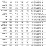
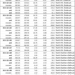
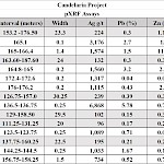
For technical, analytical and sampling details on the Silver One reverse circulation (RC) drill programs, please see October 15, 2020, February 16, 2021, May 26, 2021, July 15, 2021, and August 16, 2022 press releases.
Historic drilling at Candelaria was by RC methods with cuttings sampled on a 5 ft (1.52 m) interval. Samples were analyzed at the mine assay laboratory for soluble (leachable) Ag and Au using hot cyanide leach methods on a 20 g sample. No information is available on QA/QC protocols at the mine laboratory.
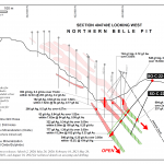
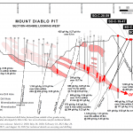
Total Ag (AgTotal) values and Total Au (AuTotal) values shown for historic drilling in the sections have been derived from historic cyanide soluble Ag (AgSol) and Au (AuSol) using regression formulas developed from SVE drill assay results for AgTotal, AgSol, AuTotal, and AuSol (approximately 6435 assays for Mount Diablo and 1310 assays for Northern Belle). Separate regression formulas were developed for Sulphide, Mixed and Oxide mineralization at the Mount Diablo deposit and for Oxide plus Mixed mineralization at the Northern Belle deposit. The regression formulas used to determine Total Ag and Total Au are:
ZONE TOTAL SILVER TOTAL GOLD Mount Diablo Oxide: AgTotal = 2.9793*AgSol AuTotal = 1.2534 * AuSol Mount Diablo Sulphide: AgTotal = 2.493* AgSol AuTotal = 1.2534 * AuSol Mount Diablo Mixed: AgTotal = 2.2392* AgSol AuTotal = 1.2534 * AuSol Northern Belle Oxide/Mixed: AgTotal = 3.0968* AgSol AuTotal = 1.2438 * AuSol + 0.01125 Readers are cautioned that the historical cyanide soluble Ag and Au drilling results are believed to be reliable as they were used for mine planning and development, however, a qualified person has not done sufficient work to independently verify the historical drilling results.
-
-
Photos
-
Maps
-
Technical Reports
Jun 19, 2025
Aug 19, 2020
